
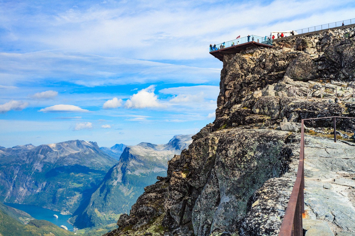
Dalsnibba
The drive up to the Skywalk above Geiranger
Western Norway · Your travel guide
The Geirangerfjord has been a UNESCO World Heritage Site since 2005, and the village of Geiranger lies at the head of the fjord. You can look down on the fjord from Dalsnibba and the viewpoints, or explore it by boat and on the Waterfall Walk. Planning your trip means working out how to get there, when the mountain roads are open and where to stay.
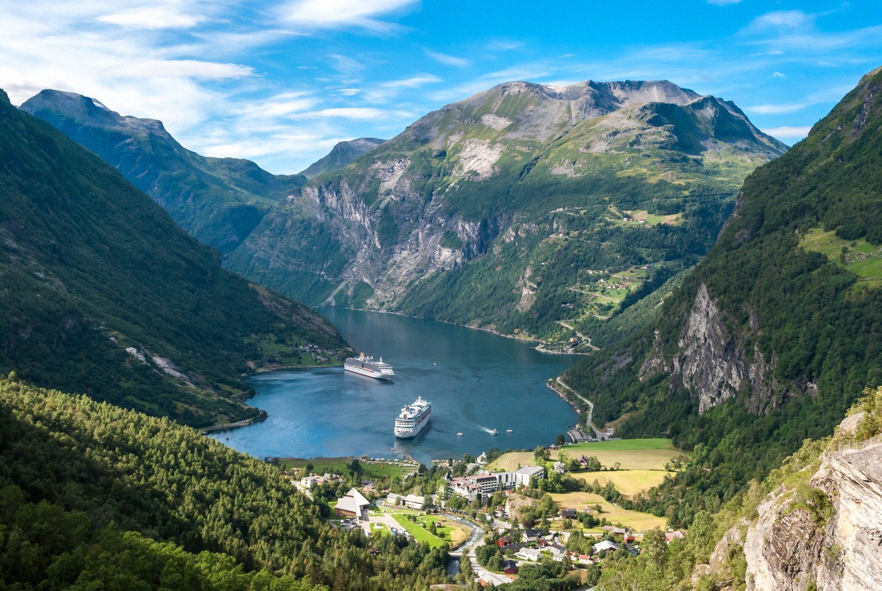
The drive up to the Skywalk above Geiranger
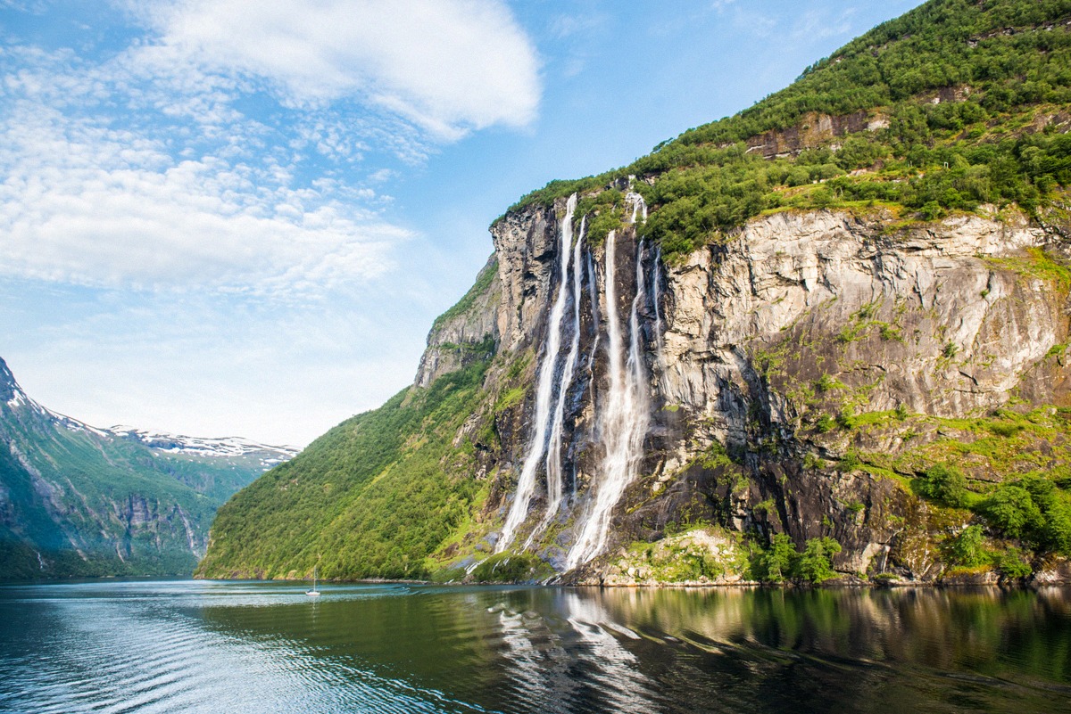
The waterfalls of the Geirangerfjord
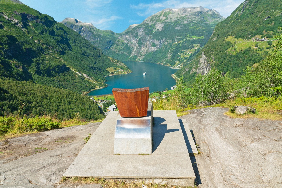
The mountain pass between Geiranger and Åndalsnes
Boat trips, kayaking and tours on the Geirangerfjord
The Geirangerfjord is a side arm of the Sunnylvsfjord, about 15 km long between Hellesylt and Geiranger and up to 258 m deep. Waterfalls such as the Seven Sisters plunge down its cliffs into the fjord. The car ferry between Geiranger and Hellesylt takes you along the whole length of the fjord.
At the head of the fjord lies the village of Geiranger in Stranda municipality, home to just over 200 people. The church, the Waterfall Walk and the Norwegian Fjord Centre (Norsk Fjordsenter) are all within walking distance in the village, and every sight in the village and around the fjord is listed under Things to do.
Since 2005, the Geirangerfjord and the Nærøyfjord have together formed the UNESCO World Heritage Site West Norwegian Fjords (Vestnorsk fjordlandskap). In the village, the Norwegian Fjord Centre is the visitor centre for the World Heritage Site, with an exhibition on the nature and culture of the fjord.
A zero-emission rule applies in the World Heritage fjords. Since 1 January 2026, passenger ships under 10,000 gross tonnage may only enter if they are zero-emission, meaning no direct emissions of CO₂ or methane. For larger ships the rule applies from 2032, and temporary exemptions for smaller ships expire by the end of 2029 at the latest. What this means for cruise ships and ferries is explained under Getting there.
On the western side of the Sunnylvsfjord is Åkneset, a large unstable mountainside. A major rockslide there could trigger a tsunami that would hit Hellesylt and Geiranger in particular. The slope is monitored continuously by the Norwegian Water Resources and Energy Directorate (NVE). Varsom, the Norwegian warning service for natural hazards, reports on the current situation on the slope.
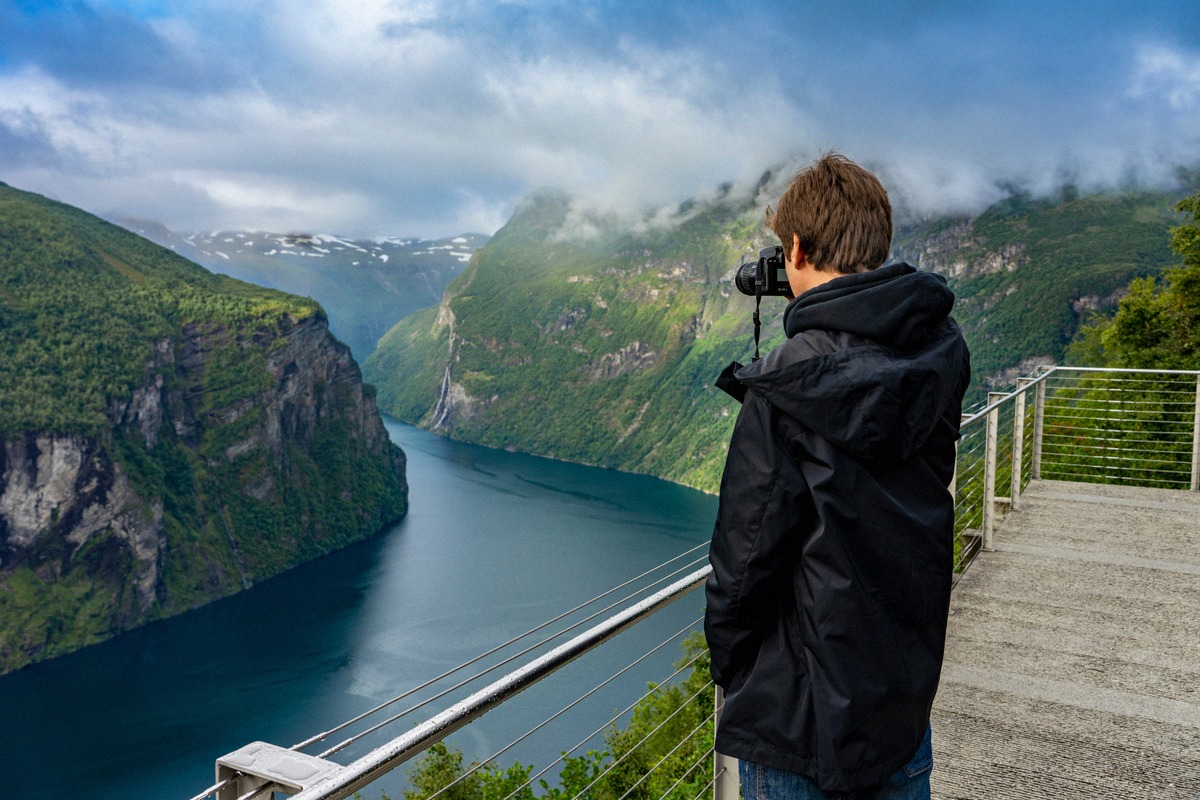
A 21 km road climbs from Geiranger to the top of Dalsnibba, almost 1,500 m high. In the same direction, Flydalsjuvet sits on the steep mountainside at the head of the Geirangerfjord, looking down on Geiranger.
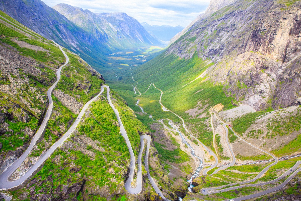
On the other side of the village, Ørnesvingen (Eagle’s Bend) is at the very top of the eleven hairpin bends of Ørnevegen (Eagle Road). From there you can see Geiranger, the fjord and the Seven Sisters. Both viewpoints are on the 104 km National Tourist Route Geiranger-Trollstigen. At its northern end, the Trollstigen mountain pass road climbs out of Isterdalen, and its largest viewing platform juts out about 200 m above the road.
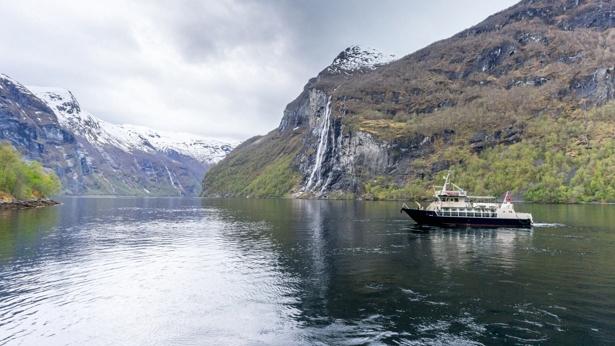
The Seven Sisters waterfall drops about 250 m straight into the fjord by the abandoned Knivsflå farm. It is best seen from the water and carries the most water during the snowmelt, roughly from May to July. From Geiranger, boats, RIBs and kayaks head out to the waterfalls, and fjord cruises from Ålesund run in winter too. All the options are under Tours.
On foot, the Waterfall Walk climbs from the village up to the Norwegian Fjord Centre. Places at the other end of the fjord and around the region, such as Hellesylt, Ålesund and Åndalsnes, are covered on the Day trips page.
By air, you arrive at Ålesund Vigra Airport; by train, at Åndalsnes station. By car, the drive from Ålesund to Geiranger takes about three hours. In summer, the northbound Hurtigruten sails into the Geirangerfjord. All the options are under Getting there.
The road up Dalsnibba is usually open from mid-May to September. Trollstigen and the mountain road south towards Langvatnet are closed in winter, while Ørnevegen from Eidsdal is open all year round. To see what the weather is like on the fjord, check Weather and the Webcams, including one on Dalsnibba. Hotels in Geiranger and along the fjord, and the campsite in the village centre, are under Where to stay.